
UNIVERSIDADE
DO ALGARVE

Mirone features
>>>>>>>>>>
How-tos
>>>>>>>>>>>>>
>>>>>>>>>>>>>

Nov 2004, Joaquim Luis
email:
|
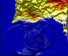
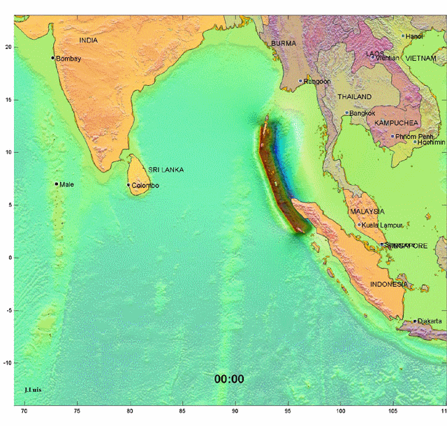
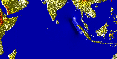
Movie animation (4:30 hours) of the 26 December Sumatra Tsunami
|
See (beautifull) full
definition movie (10.6 Mb) here See trans-Indian ocean animation here (2.55 Mb) - Tsunami trough on the wrong side See trans-Indian ocean animation here (8.9 Mb) - Tsunami trough on the wrong side
|
To find out more about the features of Mirone,
click on any of the images below.
|
|
|
|
|
|
|
|
|
|
|
|
|
|
|
|
|
|
|
|
|
|
|
|
|
|
|
|
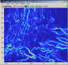
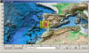
Image draping |
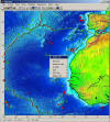
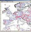
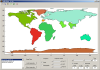
GMT coast, border, river database |
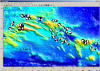
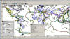
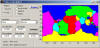
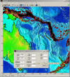
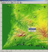
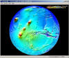
Seismicity plot |
Magnetic isochrons |
|
|
|
|
|
|
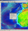
SRTM mosaic tool |
Detect/fill gaps |
IGRF calculator |
Parker inversion |
|
|
|
|
|
|
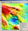
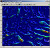
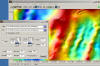
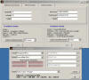
Okada deformation |
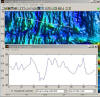
Syntetic interferogram |
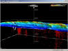
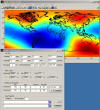
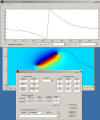
Far field tsunami simulation |
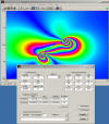
Shallow water tsunami inundation |
|
|
|
|
|
|
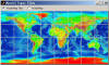
Geographic calculator |
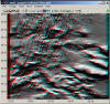
3D (Fledermaus) viewer |
3D (Fledermaus) viewer |
New Fleder possibilities |
|
|
|
|
 |
|
"Rally Plater" |
Grid calculator |
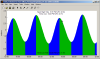
Tidal predictions |
Focal machanisms |
|
|
|
|
 |
|
This page last updated 15/01/2006
|
|||


